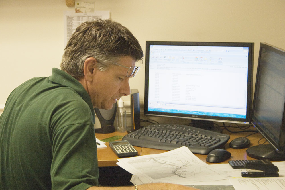
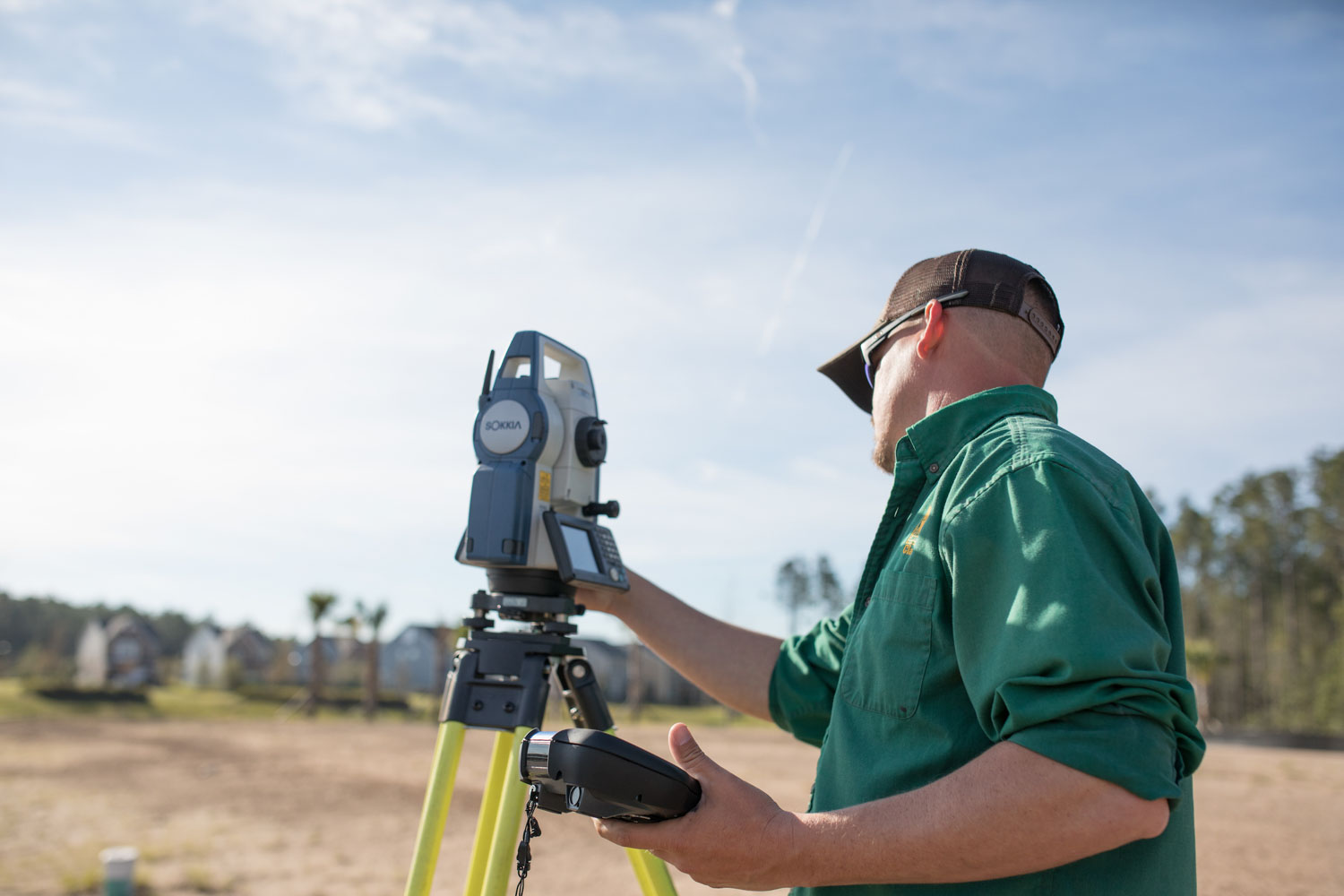
Clary & Associates, Inc. has been surveying North Florida for over three decades. The tools and techniques have changed over time, but the principles of measurement and mapping are still the same today. The advancement of new technology means Clary & Associates, Inc. can now take measurements and record data with increased speed and accuracy, saving our clients time and money.
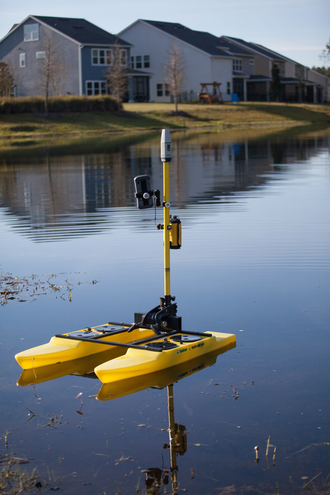
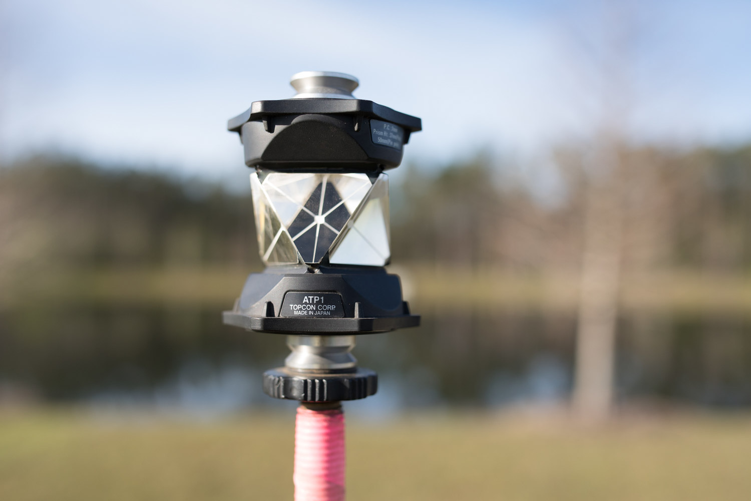
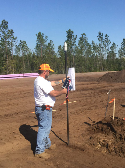
We’re committed to utilizing the best cutting edge technology, insuring the most accurate survey possible. Clary & Associates, Inc. is skilled in electronic data collection, conversion, and maintenance. All field crews are trained and furnished with the most technologically advanced equipment in the industry. From remote controlled boats for easier access to ponds and lakes, to drones that video the progression of ongoing projects. No matter what you need surveyed, we’re prepared to face any unique challenges with precision and experience.
Please contact us for more in-depth qualifications and to learn more about how our technology can help you.