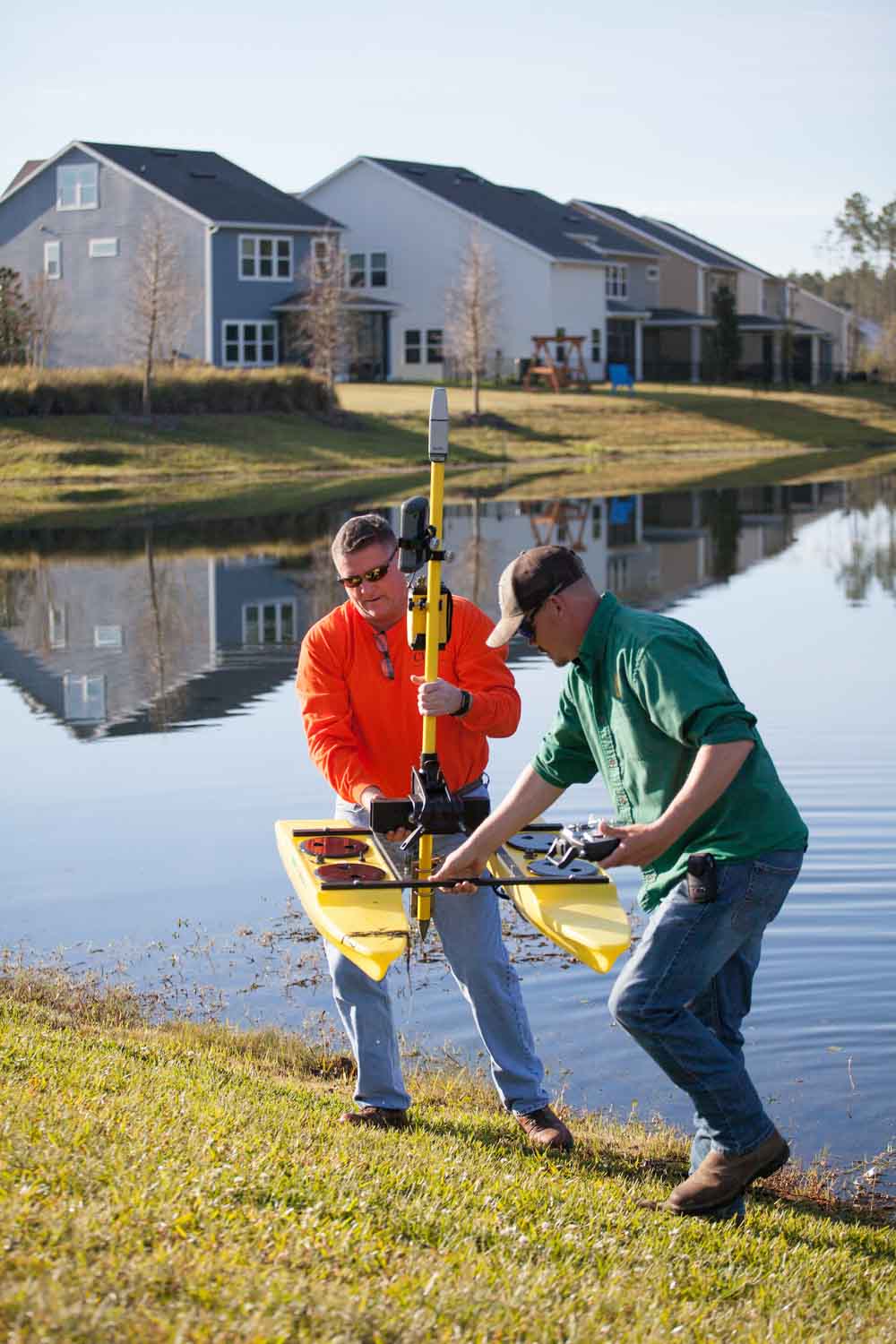
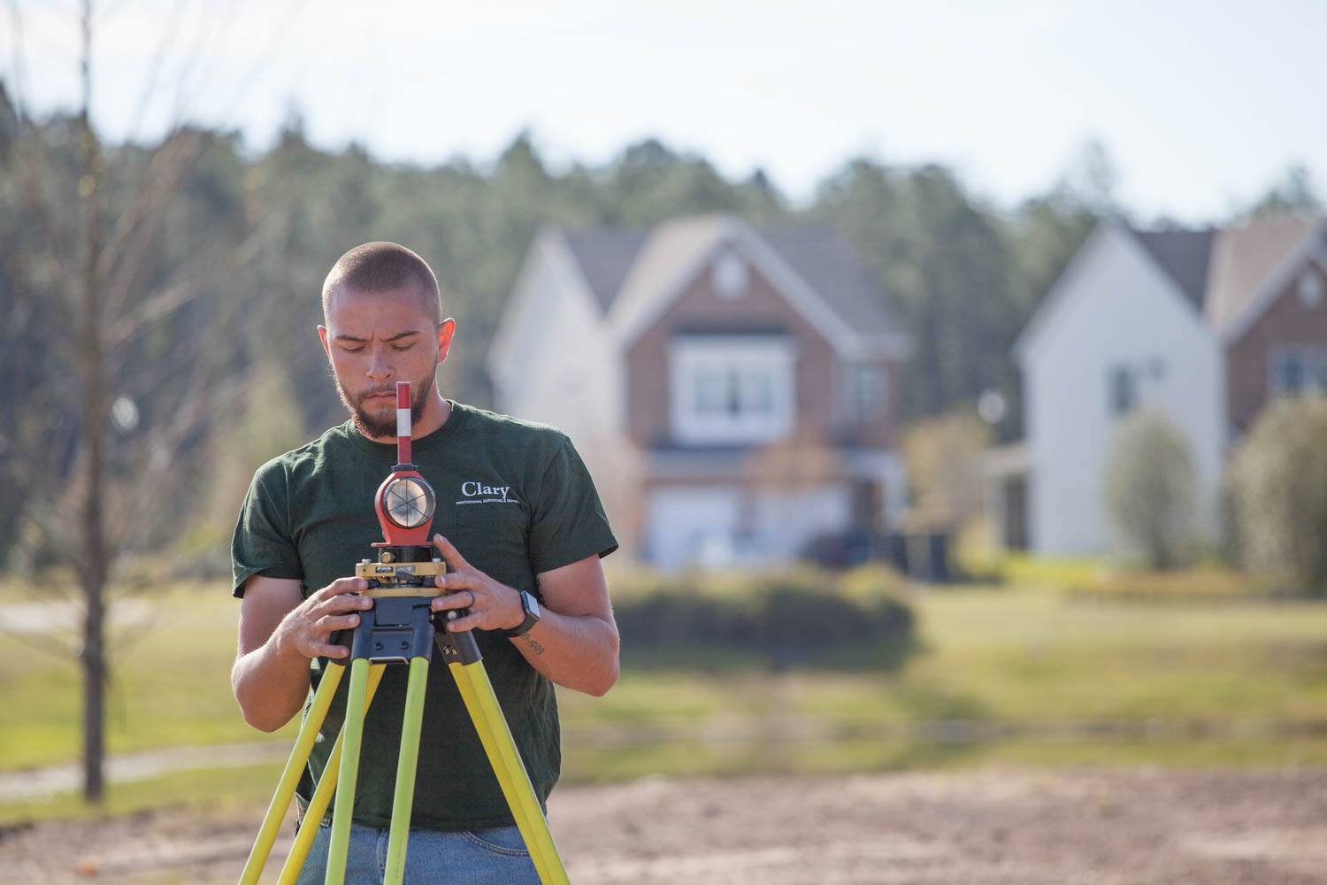
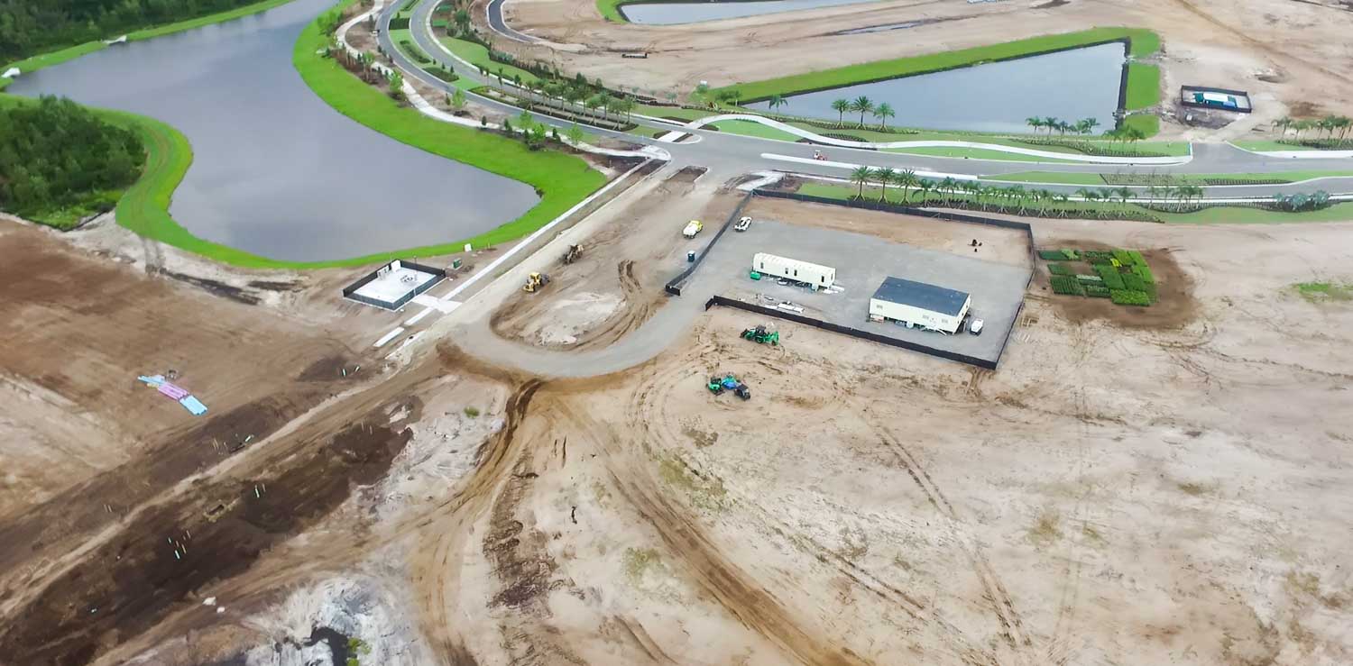
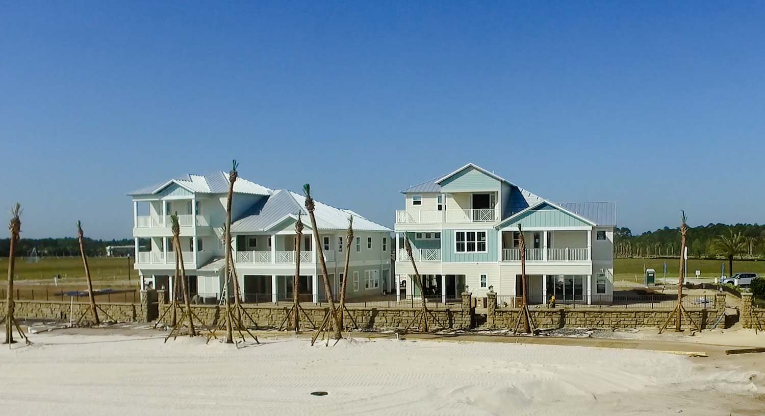
With an emphasis on large, multi-phase subdivisions, as well as smaller rural or urban infill development projects, Clary & Associates, Inc. is well-versed in every developer’s survey and mapping needs. We have extensive experience working with engineers and local counties to achieve timely project completion. Our insight insures seamless project completion. Services include apartment complexes, condominiums, and individual residential properties.
Residential Development Survey & Mapping Services
- ALTA/NSPS Land Title Surveys
- Topographic Surveys
- Mean High Water Line Determination
- Retracement Surveys
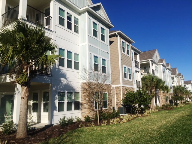
- Apartment Sites
- County Specific Tree Surveys
- Conceptual Analysis Mapping for Project Feasibility
- Jurisdictional Wetland Line Location Mapping
- Condominium Graphics
- Litigation Exhibits
- Hydrographic & Bathymetric Surveys
- Easement Mapping
- Subdivision Platting
- Offsite Route Surveys
- Boundary Surveys
- FEMA Flood Zone Determination, LOMR’s, and FEMA Elevation Certificate
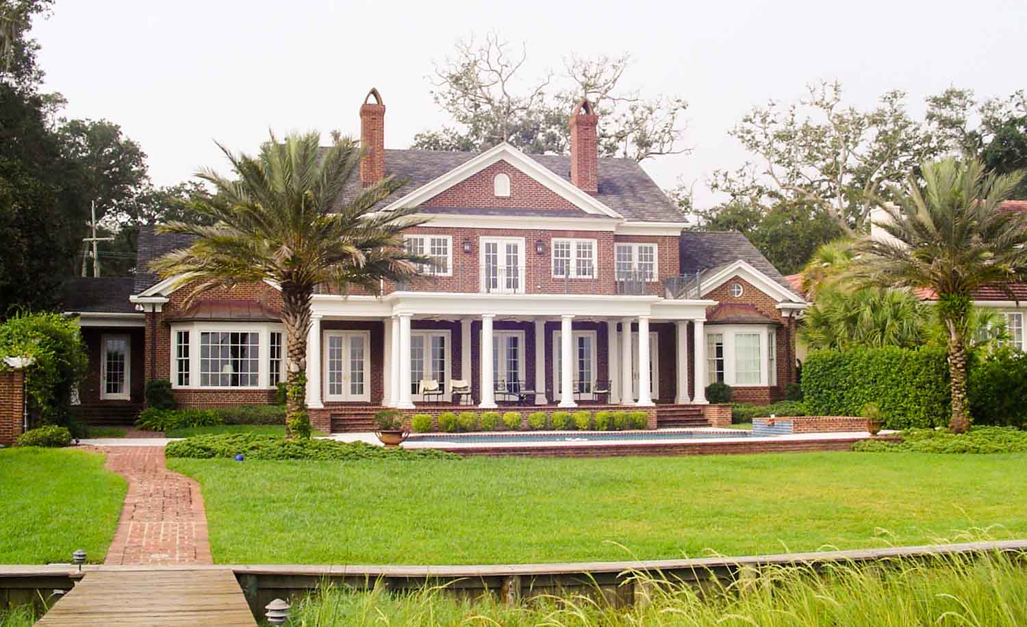
Residential Development Representative Projects
- Twin Creeks/Creekside
- The Lagoon at Beachwalk
- Shearwater Community
- Madiera at St. Augustine
- Marsh Creek Country Club
- Deerwood Country Club
- Deercreek Country Club
- Epping Forest Yacht Club
- Three Rivers
- Bartram Park/Bartram Village
- First Coast Outer Beltway
- Eagles Landing Golf Course
- Amelia Island Plantation
- The Plantation at Ponte Vedra
- Numerous Apartment Sites


 Quick Response Time
Your time is valuable. We have the experience and man power to meet your needs.
 North Florida’s Leader
Experience the Clary difference. See why our customer service and experience sets us apart.
 Disciplined & Precise
We’re proud of our heritage, embracing the future with established principles and cutting edge technology.